Monday, November 27, 2006
Santa Barbara by train and bike
Thursday, Nov 23
The train ride
Pei and I visited Santa Barbara (SB from this point on) for the Thanksgiving weekend, but instead of getting there the usual way, we traveled by Amtrak from Fullerton to Santa Barbara. We took our 2 folding bikes with us and was able to just roll onto the train and hang them on the bike/surfboard racks. That's right, no check-in required, just walk onto the train and hang them up. Since we are not sitting near the vicinity of the racks, I locked up our bikes with a simple braided coil lock to prevent casual thieves from just taking our bikes.
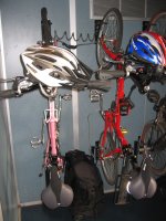 Bikes hanging on racks in the Amtrak train
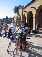 SB train station with bikes
If you have never travel by train in this country, I urge you to try it because it is fun, comfortable, and relatively stress free (except trying to get to the station on time) compared to driving. The trip cost us about $65 each round trip and took about 3.5 hours, which is only slightly more than driving, but then considering the traffic that weekend, maybe it was faster. What did we do with ourselves with all that time? We talked, listened to other people's conversations, watched the scenery, watched some movies (yes, there are also power outlets to plug in your computer/dvd player), and listen to music!
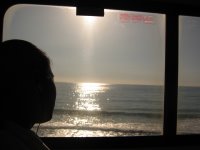 Watching sunset on the train
SB Court House
Our first visit off the train and on the bike was the SB Court House, which is definitely not-to-be missed for its architecture, decorations, and 360 degree tower view. We were thoroughly impressed. See for yourself:
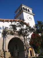 SB Court House
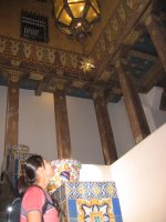 Stair case inside the SB Court House
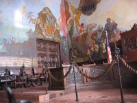 Hearing room inside the SB Court House
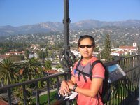 View from the clock-tower of the SB Court House
Alice Keck Park Memorial Garden
Our second stop was at the Alice Keck Park Memorial Garden. We actually didn't plan on visiting this park, but happen to rode by it when we noticed the beauty and serenity of it from the road-side. It made me want to move to SB right then and there. Sigh... if I could be so lucky.
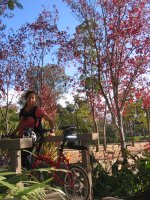 Beauties inside the Alice Keck Park Memorial Garden
SB Mission
Our last major stop of the day was at the Santa Barbara Mission, which is located at the northern edge of the city proper. While it is not an extravagantly beautiful building, its beauty is in the simplicity in reflection of frontier life and stunning surroundings.
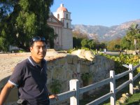 Chumash wash basin with SB Mission in the background
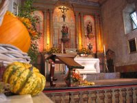 Interior of the Mission
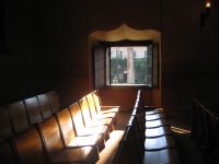 Inside the SB Mission's Chapel
Thx-giving dinner
We went to Moby Dicks on the pier for dinner, which apparently didn't require reservation even on the Thanksgiving night. Unfortunately, we were not impressed with their regular fare (seafood) and their Thanksgiving special didn't look much better either. Oh well, at least we didn't shell out $50+ per person. However, we had a nice stroll on the pier.
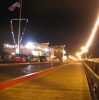 Thanksgiving night on the pier
Friday, Nov 24
The highlight of the day was that we biked to Goleta and back, which is about 30+ miles round trip. It really wasn't too difficult, but we took our time to enjoy the sights and life. We discovered the Shoreline Park, which was a great place to enjoy the ocean view and stroll on the beach (we only did the former, not the latter).
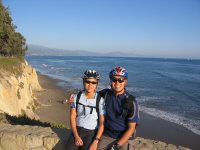 Pei and I at Shoreline Park
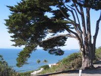 View from the Shoreline Dr.
The bike ride involved about half on-street riding and half on-path riding in Goleta. Goleta is home of the UCSB, where I visited several times when my friend Max went to grad school there. The school perch on the cliff side overlooking the beautiful Pacific Ocean. I never understood how he could study at such an environment. Anyway, we bike around the school and the college living area - both of which were basically ghost towns during this time. We spent a bit of time looking for some place to eat, but most places were closed near campus. We fortunately found a great Vietnamese restaurant in the non-student area, but the name escapes me :(
 Trip back on memory lane for my friends who went to UCSB
This night, we finally found a great seafood restaurant at the Sterns Wharf called Brophy Bros. We shared clams/mussel appetizer and a fish dish (I don't remember which now) for about $35. We had to wait about 40 minutes to get seated, but we left happy as a clam :P I highly recommend it! (Just in case it mattered to you, it's small and crowded... so don't bring a large group.)
Saturday, Nov 25
Took the day easy; just enjoying the atmosphere and check out State Street, which was filled with activies of people shopping. We ate lunch on the outdoor patio of the Natural Cafe to enjoy people watching and the specialty foods. Our train departs for LA at around 1pm... it was sad to say goodbye to such a beautiful place. We vow to return sometime soon.
Note: Many links found here are from Santa Barbara.com ... From what I can gather, the information at the site would have been helpful if I had I visited it before going to SB.
Sunday, November 05, 2006
Picacho Peak hike
From one state park to another... On Nov 4th, I finally got to do a great hike that I never got to do while I was actually living in Tucson. Pei, Kyle, Krystle, and I went to hike the Picacho Peak, which is located about 50 miles North of Tucson on I-10. It was an intense but fun 4 mile round trip hike via the Hunter Trail.
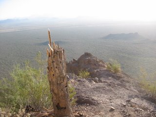 Dead catus
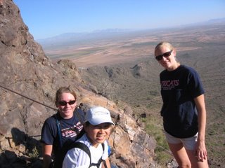 Pause for a view
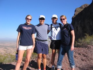 Group at the saddle
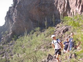 What are you (Henry) up to now?
The hike is NOT for the faint of heart or anyone who fear heights because at various sections you are basically being held-in by a chain and not much else. The chains are staked in various locations to help and keep hiker safe while doing this climb without any technical equipment or skill. The ranger recommended that we use gloves, but it's not really necessary (except when it's really hot or cold).
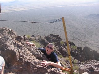 Help me!
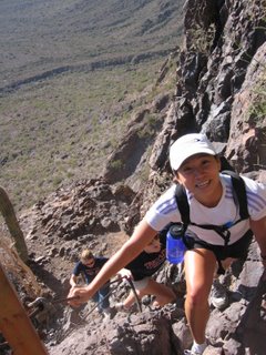 A look at how steep it is
The view all the way up is excellent. On the peak, you have a 360 degree view of mostly flat land. If you would like to try doing this hike, I would recommend at least 2 quarts of water per person, sunscreen, hat, sunglasses, and sturdy shoes.
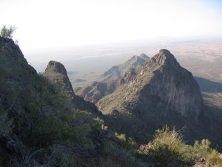 From the peak
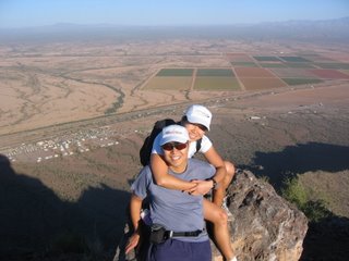 Pei and I on the peak (South-East/I-10 in the background)
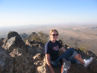 Krystle on the peak (North in the background)
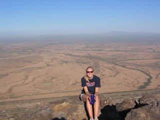 Kyle on the peak (East/I-10 in the background)
 Dead catus
 Pause for a view
 Group at the saddle
 What are you (Henry) up to now?
The hike is NOT for the faint of heart or anyone who fear heights because at various sections you are basically being held-in by a chain and not much else. The chains are staked in various locations to help and keep hiker safe while doing this climb without any technical equipment or skill. The ranger recommended that we use gloves, but it's not really necessary (except when it's really hot or cold).
 Help me!
 A look at how steep it is
The view all the way up is excellent. On the peak, you have a 360 degree view of mostly flat land. If you would like to try doing this hike, I would recommend at least 2 quarts of water per person, sunscreen, hat, sunglasses, and sturdy shoes.
 From the peak
 Pei and I on the peak (South-East/I-10 in the background)
 Krystle on the peak (North in the background)
 Kyle on the peak (East/I-10 in the background)
Wednesday, November 01, 2006
I ride through a dangerous city
Heard the news on the other day that Compton, CA, the city that I must go through if I am taking public transit to work, is rated #4 dangerous city in the nation. It is also rated the most dangerous city with population of 75k to 100k. This is according to Morgan Quinto Press. Wow, I really have to be careful now.
